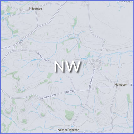
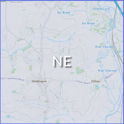
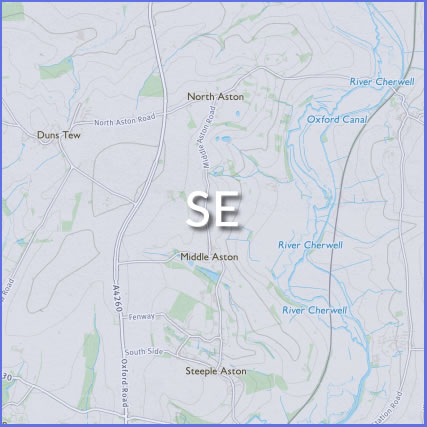
Duns Tew is a village located in some stunning North Oxfordshire countryside. There are a number of public footpaths and bridleways radiating out from the village. Please be mindful that some of these pass through fields containing livestock.
The Ordnance Survey map best covering Duns Tew and the surrounds is the Explorer 1:25,000 (4cm to 1km) 191 Map of Banbury, Bicester & Chipping Norton. Available from the OS here: https://www.ordnancesurvey.co.uk/shop/maps/explorer-map-banbury-bicester-chipping-norton.html
Oxfordshire County Council maintain an electronic copy of the legal record of public rights of way (the Definitive Map and Statement).

Public rights of way
gov.uk landowner responsibilities
If you need to report an issue on any of Oxfordshire’s public rights of way please do this via this link